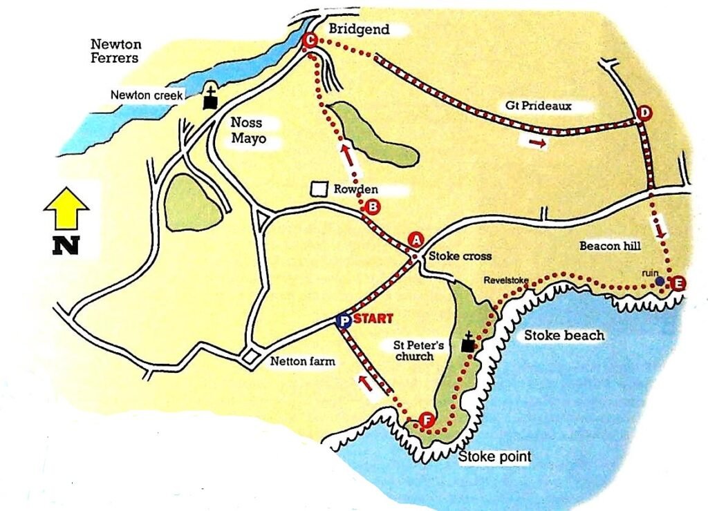
This beautiful walk comprises a combination of lanes, fields and coastal paths with great views of the estuary, coast and Noss Mayo. There are some steep bits on the route, these are short and uneven. The area on a lane by Great Prideaux Farm can become flooded after prolonged rain.
Walk Details
Grid Ref: SX557466
Distance: 6 miles
Toilets: Noss Mayo
Grade: Medium
Duration: 3 hours
Refreshments: Noss Mayo
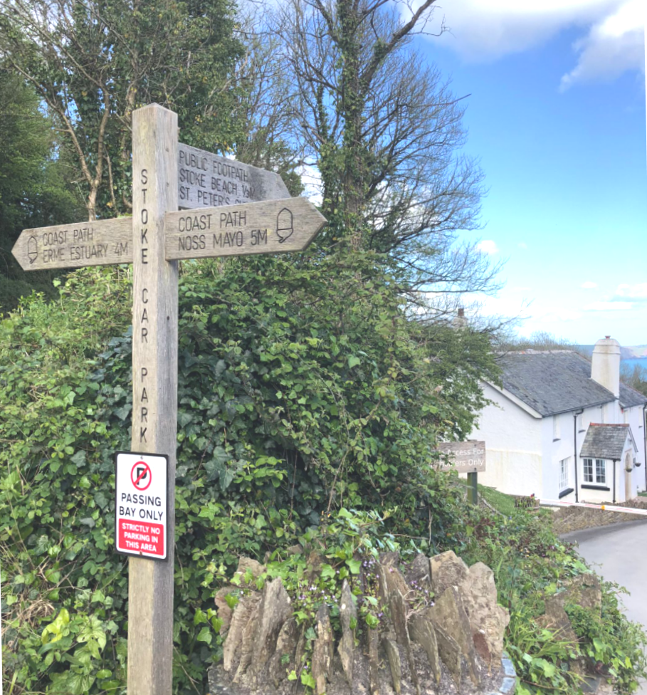
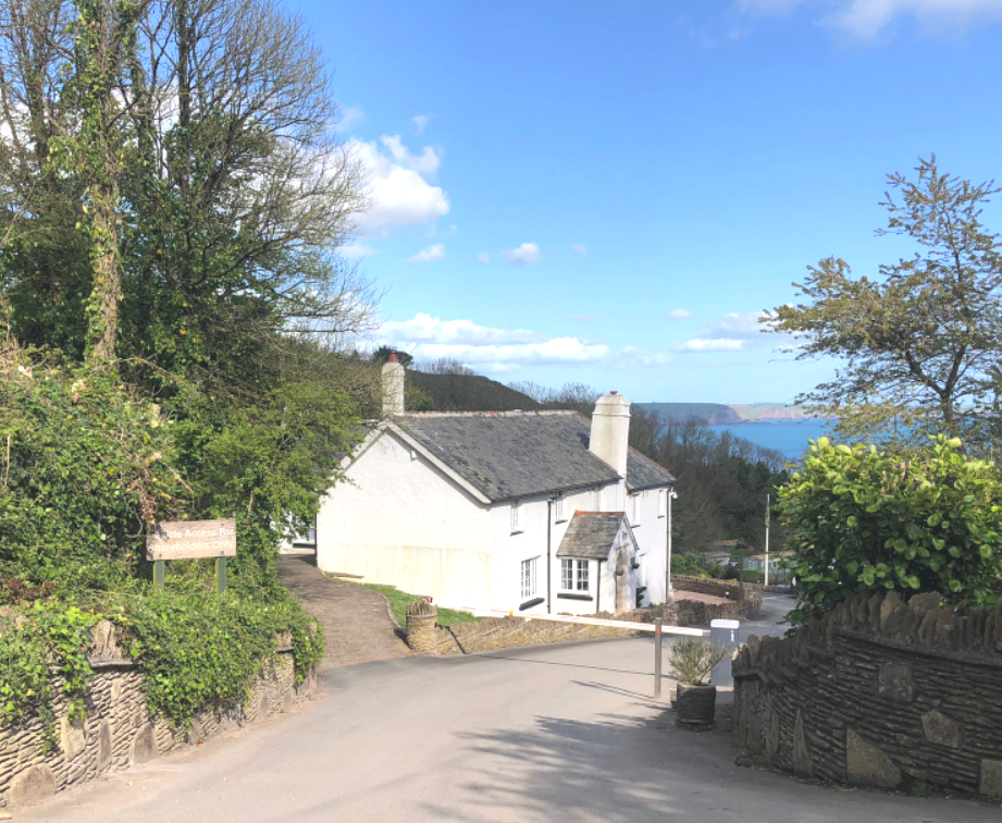
Start From: The National Trust StokePoint car park. Noss Mayo. To reach the car park, take the road to Noss Mayo. At the church bear left into Stoke Road. Continue past Rowden Court a converted barn complex and turn right at Stoke Cross crossroads. The car park is just under ½ mile on the left.
Route
Leave the car park and turn RIGHT along the tarmac lane. After about ½ a mile, at Stoke Cross, turn LEFT (A). Continue along this lane and just before you reach the Rowden Court complex, turn RIGHT (B) to cross over a stile with a waymarked post.
Cross the field diagonally LEFT to reach a gate near the left-hand corner of the field. Cross it and go over the next field heading downhill. Go through another gate in a hedge & into another field. Continue downhill to reach a gate located by some trees. Descend on the tree-lined, enclosed, track (fairly steep)and after 300 yards emerge on to a tarmac lane by some houses. Bear HALF-LEFT to reach the main road to Noss Mayo. Turn RIGHT at the junction and after 50 yards turn RIGHT alongside Bridgend House (C).
Proceed uphill with a wall on the right to reach Creek Lodge. Turn LEFT up a narrow tree lined track. After 300 yards uphill, the track comes out through a gate into a small clearing, with views overlooking the estuary. Bear LEFT here up a broad track. After 400 yards, the broad track becomes a tarmac lane and passes Great Prideaux Farm on the left.
Continue AHEAD for a ¼ mile to reach a T-junction (D). Turn RIGHT and after 400 yards, at Tea House junction, cross over the stile opposite. Head towards the ruined building (Beacon Hill) on the coast ahead. Pass through gates crossing a cow track and then a gate by the ruin and turn RIGHT (E) to join the broad coastal path.
Continue along this track passing three gates for approx 1 mile to reach a tarmac T-junction. Turn LEFT into Revelstoke Caravan Park, following the public footpath sign to Stoke Beach and St. Peter’s Church. Proceed downhill along a lane between caravans to reach St. Peter’s Church. Continue AHEAD and where the lane forks, take the LEFT fork following the waymarked sign.
Shortly the lane becomes a track through a wooded area. Pass through a kissing gate to join the coastal path. After 200 yards, where the track divides, take the RIGHT fork uphill (F). The track rises steeply to join a wider track, which is part of Revelstoke Drive. Turn LEFT and continue along this wide, grassy track.
After 200 yards, where the track starts to turn to the left, strike off RIGHT uphill following the waymarked post. Go through a gate(with the parking symbol). The track goes steeply uphill and after 150 yards it levels out. After a further 300 yards, pass through a kissing gate on the RIGHT, to return to the car park.Noss Mayo Walk.